Karachi is not simply a city beside the Arabian Sea. Its modern form grew through repeated attempts to make a natural harbour legible to ships, cargo, railways, companies and government. Channels were dredged, protective works built, wharves extended and warehouses connected to inland routes. The port became both an economic machine and a way the city imagined its place in the region.
This is an interpretive history based on official institutional records. It does not turn operational port land into a visitor route, and it avoids treating current cargo claims as timeless measures of the whole city.
At a glance
Start here
- Harbour engineering tied Karachi's growth to channels, causeways, breakwaters, wharves and bridges.
- The port linked sea movement to warehouses, rail and inland markets rather than ending at the waterline.
- Container terminals continue the logic of transfer while changing its scale and visual language.
- Museums and archives turn maritime work into public memory, but they select rather than reproduce the port.
01
A harbour appears in shipping records
KPT's institutional history begins one strand of the story with the name Karachee appearing in a 1742 document connected to the wreck of the Dutch vessel de Ridderkerk. The same account records the British capture of the town in 1839 after HMS Wellesley anchored off Manora. These dates should not be mistaken for the beginning of human life on this coast; they show when the place became visible in a particular European maritime archive. Port history often privileges ships, administrations and engineering because those institutions produced durable records. Reading it critically means asking what the archive reveals clearly and whose lives remain outside its frame.
Sources: Karachi Port Trust02
Engineering created a connected harbour
The modern port emerged through connected works rather than one decisive building. KPT says the main navigation channel was dredged and a mole or causeway begun in 1854, followed by Manora breakwater, Keamari Groyne, Napier Mole Bridge and Native Jetty Bridge. Wharves followed from the 1880s, with East Wharf and Napier Mole Boat Wharf complete by 1914 and later West Wharf and repair facilities added. Each element solved a transfer problem: approaching, sheltering, berthing or moving goods between water and land. Together they changed Karachi's practical geography, making distant markets relevant to streets, storage yards and labour near the harbour.
Sources: Karachi Port Trust03
Trade reordered the city's priorities
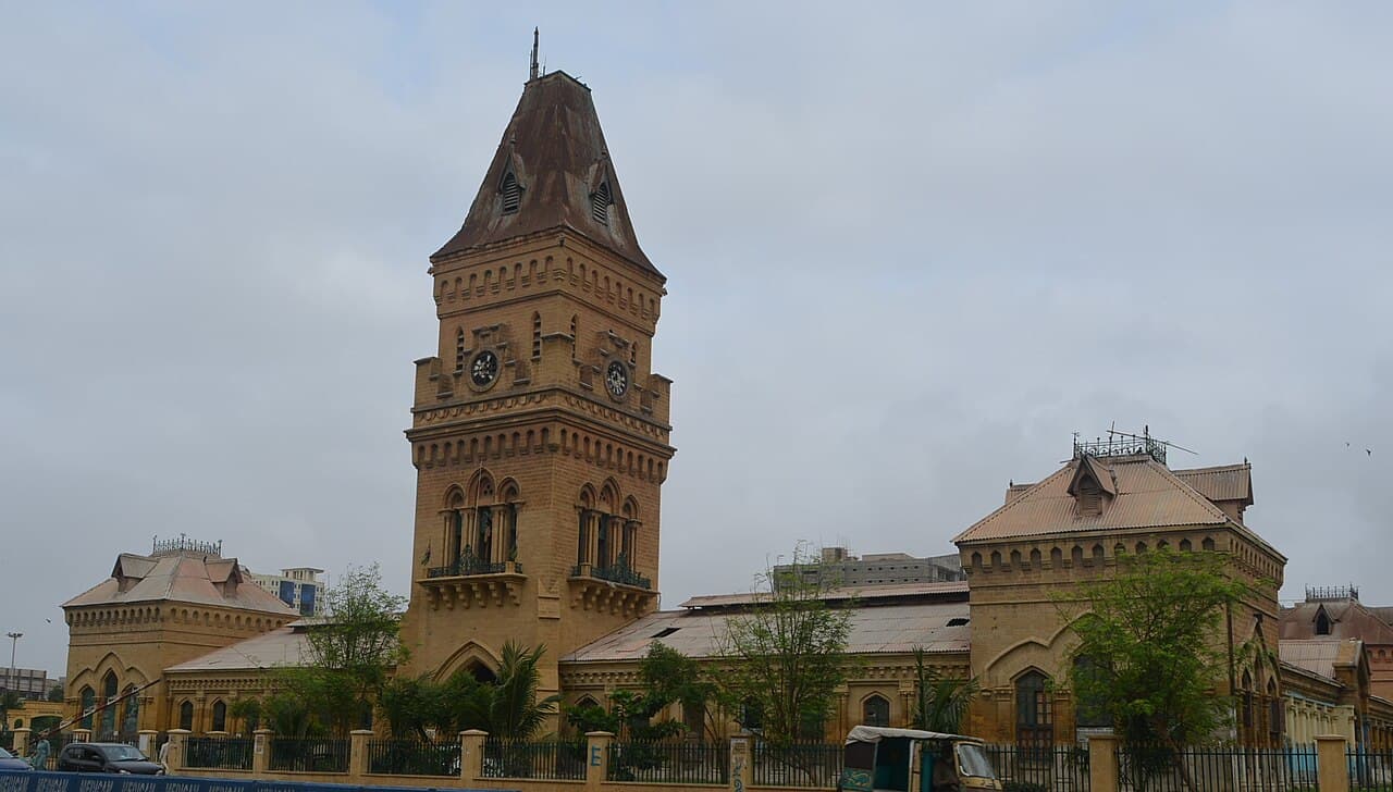
KPT's history describes rapid commercial growth by the mid-nineteenth century, a surge in cotton trade during the American Civil War and further importance after the Suez Canal opened in 1869. It states that Karachi had become South Asia's largest wheat and cotton exporting port by 1899. Those claims explain why port history extends beyond ships: export demand requires sorting, finance, insurance, storage, transport and communication. The city-facing evidence appears in the names of older quarters and public buildings as well as in port structures. This does not mean every Karachi neighbourhood developed for the same reason, but the harbour altered the scale at which land, labour and capital were organised.
Sources: Karachi Port Trust04
A port is also an inland system
KPT defines cargo handling as movement, loading, unloading and storage between ships, trucks, trains and storage facilities. Its overview lists warehousing, transit and clearance areas alongside terminals and berths. This institutional description is a reminder that the port's true boundary is functional, not scenic. A container seen near the water belongs to a chain that continues along roads, into depots and toward inland consumers or producers. That chain helps explain why congestion, land use and industrial districts are part of port-city identity. It also explains why casual sightseeing must remain outside operational areas: the harbour is a workplace governed by logistics and security, not an open waterfront promenade.
Sources: Karachi Port Trust; Karachi Port Trust05
Containers changed the visual language
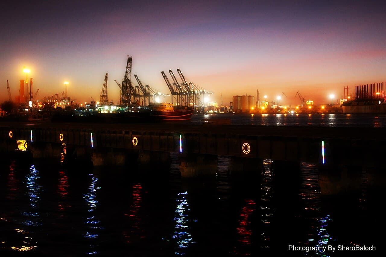
The current KPT overview says Karachi Port has handled containerised cargo since 1973 and identifies three container terminals at East, West and South wharves. The official statistics page reports cargo and container throughput by year, but those mutable figures should be read as a dated operational snapshot, not a permanent superlative. Containers standardise units that once appeared as more visibly varied cargo; cranes and stacks replace some of the older port's texture. Yet the underlying problem remains the same: coordinate ship, berth, storage and inland movement. Modernisation changes equipment and scale while preserving the port's central logic of transfer.
Sources: Karachi Port Trust; Karachi Port Trust06
Charts make water administrable
The National Hydrographic Office chart list separates Karachi Harbour, approaches to Karachi, Ghizri Creek and approaches to Korangi Creek into distinct products, each with a stated scale and edition information. These are technical documents for navigation, not tourist maps, but culturally they show how a port city converts moving water into measured, named and updated space. Channels, depths and navigation aids must be maintained as information as well as infrastructure. Karachi's maritime identity therefore belongs not only to dockworkers and ships but also to surveyors, cartographers and warning systems that make repeated movement possible. The chart catalogue is an administrative portrait of a coast divided by navigational purpose.
Sources: National Hydrographic Office Pakistan07
Maritime memory selects from work
The Pakistan Maritime Museum says it preserves maritime relics, exhibits and artefacts and opened to the public in 1997. Its exhibition page describes equipment, paintings, dioramas, murals and interactive kiosks. A museum turns hazardous, dispersed and specialised work into a public narrative that families can enter. That translation is valuable but selective: a gallery cannot reproduce the noise, labour relations, paperwork or constant change of an operating port. Reading museum and port sources together prevents two distortions, one that sees Karachi only as commerce and another that reduces maritime history to attractive objects. Public memory gains clarity through selection, but it also needs readers who ask what the selection leaves outside.
Sources: Pakistan Maritime Museum; Pakistan Maritime MuseumUseful answers
Reader questions
Did Karachi exist before the modern port?
Yes. The KPT account refers to the town before the major nineteenth-century works. Its institutional archive explains port development, not the complete human history of the coast.
Sources: Karachi Port TrustWhy were the channel and breakwater important?
They formed part of a system that improved approach, shelter and transfer between harbour and city, alongside groynes, bridges and wharves.
Sources: Karachi Port TrustIs Karachi Port a public sightseeing area?
No such assumption should be made. It is an operational port with cargo, security and navigation functions. Observe only from clearly public, authorised locations.
Sources: Karachi Port TrustWhat does the Maritime Museum add?
It preserves and interprets maritime objects and visual records for the public, offering a selected institutional memory distinct from the working port.
Sources: Pakistan Maritime Museum; Pakistan Maritime MuseumRead the evidence
Sources and further reading
These sources support the relevant sections above. Plans and comparisons are editorial suggestions. Check operators for current arrangements.
- KPT History ↗Karachi Port Trust · Accessed 14 September 2026
KPT's account of documentary references, harbour engineering, wharves and trade growth.
- Overview of Karachi Port ↗Karachi Port Trust · Accessed 14 September 2026
Current port structure, terminals, warehousing and operational functions.
- Port Statistics ↗Karachi Port Trust · Accessed 14 September 2026
KPT's definition of cargo handling and dated throughput reporting.
- CHARTS LIST ↗National Hydrographic Office Pakistan · Accessed 14 September 2026
Separate chart products for Karachi Harbour, approaches and nearby creeks.
- About Us ↗Pakistan Maritime Museum · Accessed 14 September 2026
The museum's mission and public opening year.
- Exhibitions ↗Pakistan Maritime Museum · Accessed 14 September 2026
Forms of evidence and interpretation used in museum displays.